
More than 99 percent of Earth’s upper atmosphere is electrically neutral gas, which is precisely the part our instruments struggle to see. The other sliver, the ionized gas of the ionosphere, is the easy target, because charged particles interfere with how radio waves travel and leave a signature you can actually measure.
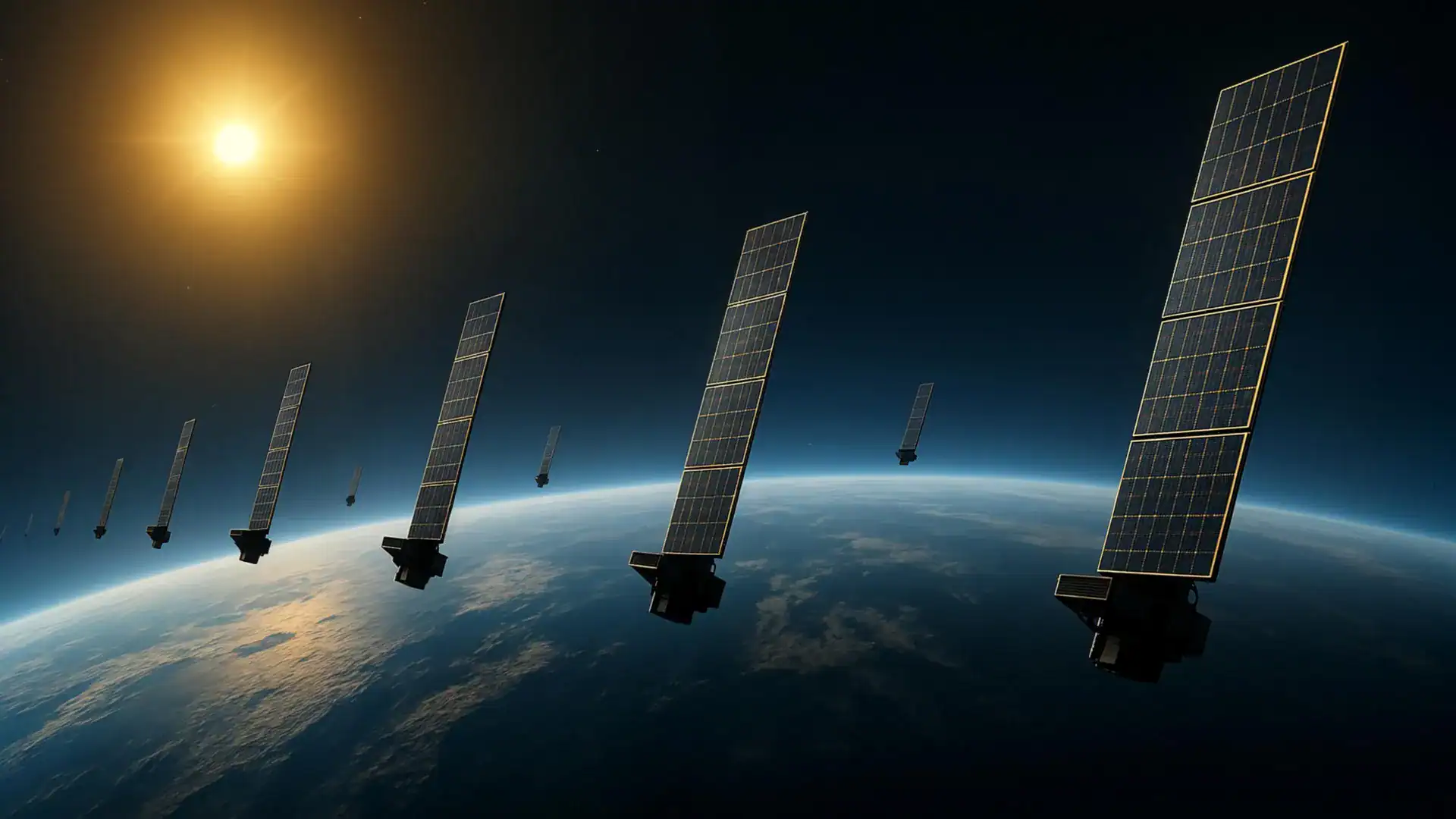
So a team at Kyoto University stopped trying to look at the neutral atmosphere directly and started watching what it does to things moving through it. Thousands of things, specifically. Starlink satellites.
The result is a two-dimensional latitude-longitude snapshot of thermospheric density at an altitude of roughly 500 kilometers, which the team says is the first tomographic analysis of its kind.
Medical imaging math, pointed upward
Tomography is the technique you associate with a CT scanner: build an image of something opaque by measuring what passes through it from many angles. Here the thing passing through is a satellite, and the measurement is drag.
The researchers used publicly available orbital information from Starlink satellites and read atmospheric density off the gradual decay of those orbits. That gave them density estimates around approximately 1,200 satellites flying at an altitude of 482 kilometers.
Thermospheric density refers to the neutral atmosphere between about 100 and 1000 kilometers up. At those heights there’s still enough gas to slow a satellite down, which is why getting the number right matters to anyone trying to predict where a spacecraft will be next week.
The check against SWARM
A new method is only as good as what it agrees with. The density patterns the Kyoto team produced showed strong consistency with observations from the European Space Agency’s SWARM satellites, which measure changes in atmospheric density along their own orbital paths.
That’s the part worth paying attention to. SWARM is purpose-built hardware doing in-situ measurement. Starlink orbital data is a byproduct of a commercial broadband constellation, published for free.
This is the second pass, not the first
The work builds on an earlier study by the same group, which estimated how thermospheric density changed over time and altitude using Two-Line Element data, or TLE, from Starlink satellites. TLE is about as generic as orbital information gets.
The new analysis adds the horizontal dimension, mapping how density varies across latitude and longitude and exposing more of the thermosphere’s geographic structure.
“This is a multidisciplinary study between space science and space engineering,” said corresponding author Mamoru Yamamoto. “Reading papers from both research fields, we realized that deeper dialogue between researchers from both fields is necessary.”
Why anyone outside atmospheric science should care
Low Earth orbit keeps getting more crowded with satellites and debris. Better density numbers feed directly into better predictions of where those objects will drift, and that reduces the odds of collisions between satellites and between satellites and debris.
The technique could also eventually support near-real-time measurements of atmospheric density around satellites, which would help space weather forecasting and satellite operations. Note the “eventually.” What exists today is a snapshot and a validated method, not a live feed.
Still, the economics are hard to argue with. Every Starlink satellite already broadcasts its orbit, and every one of them is being slowly dragged by a layer of atmosphere nobody can otherwise see. The Kyoto team’s contribution is realizing the constellation was already taking the measurement.